Peak Highlight
- Height: 6,096-M
- Location: Part of the Karakoram Range on east of Hushe valley.
- Charming peaks , famous for Ski
- challenging sixth-thou sander
- Splendid view of Masherbrum Mountains
- Technical mountains
- None of HAPs/Sherpa's supported climb.
- Greatly explore Hushe valley
| Range: | Country: | ||
|---|---|---|---|
| Max Altitude: | Duration: | ||
| Best Season: | Walking per day: | ||
| Grade: | Ideal Group Size: | ||
| Hotel Nights: | Camping Nights: |
Book your own customize Expedition 2022-23
| Arrival | Departure | No of Persons | Trip Name | Confirmation Deposit | Status |
|---|---|---|---|---|---|
| 25% | Book Now |
Fix Departures Date And Prices 2024-2025
| Start Date | End Date | Availability | Price | Confirmation Deposit | Group Size | |
|---|---|---|---|---|---|---|
| 20th May 2024 | 19th June 2024 | Available |
$000 €000 |
$25% | 7 to 12 | Book |
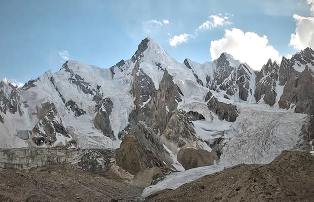
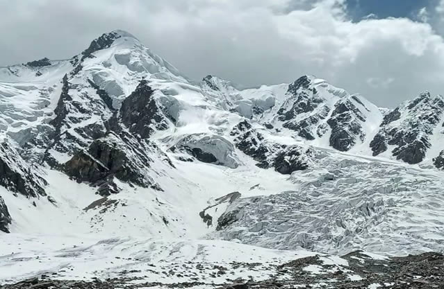
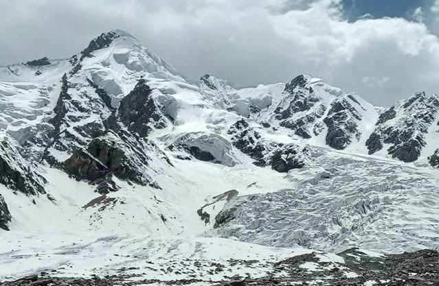
Bondit Peak Bondid,6150mand Rustam (5800-m) formerly Muntin) is a prominent mountain of a little less than 6,150m situated near the head of the Bondit Glacier at 35°20'29.06"N, 76°16'27.59"E. The Bondit Valley rises southwest from the Kandy Valley, which in turn rises initially northwest from Kandy. Bondit Peaks is a truly Karakorum Scale objective and ideal next step for those who have previously climbed a 6000 meters as Trekking Peak.
Also this is the shortest possible trekking peak in the area to see central Karakoram mountains including K-2, the second highest in the world ,Broad Peak-I,G-II,and many other Karakorum peaks as well. Bondit Peak around 65000 meters has less traveled and still lesser known trek in the vicinity of Kandy village.
Climbing History:
Elliot Bowie, Kadin Vincent (both New Zealand), Diarmuid Murphy (Ireland), attempted the northeast spur of Bondit from a base camp at around 4,400m on the last green meadow and easy water source before the white ice of the lower Bondit Glacier. They reached this point reasonably acclimatized after trekking over the GondogoroLa from Askoli.The first attempt was via the icefall, which proved too heavily crevassed to cross , than attempted to climb directly from the base of the north spur. While this may prove a feasible route, it is well-defended by numerous seracs; more than once these dropped small blocks on us.
After August 10, when it started raining on the exact day the already loose nature of the mountain altered drastically for the worse, and any further attempts became suicidal. They switched there attention to a minor unnamed peak of around 5,600m further west. Once again, serious avalanches, this time of rock as well as snow/ice, forced us to abandon the attempt. On both peaks our high point was around 5,300m.
Future parties would be wise to visit earlier; late June and July were recommended locally.


